


|
|
|
|
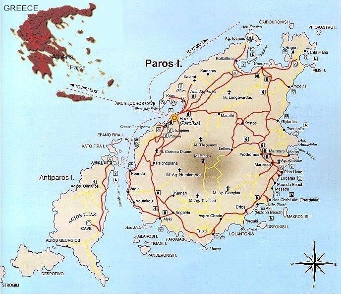
Paros is the third biggest of the Cyclades Islands after Andros and Naxos. Paros is situated in the middle of the Island group and covers of 209 square kilometres with coastline of 120km long. Paros Island is 96 miles Southeast from Athens which is the capital city of Greece.
VILLAGES IN KLM FROM TOWN (PARIKIA)
Now how to reach Paros Island: From the port of Piraeus (Athens): By
ferry boat (duration 2:45 hours with a high speed boat and 4:50 hours with a normal boat)
departures every morning between 07:30 and 8:30 and every afternoon between 15:00 and
22:00. Olympic Airways - Timetable From / To Paros Domestic Sea Schedules Request Form
Send mail to webmaster@parosweb.gr
with questions or comments about this web site. |